











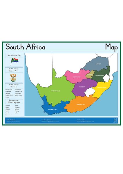
South African Map Wall Chart
Price Comparison
takealot.com
Best Deal
In stockThe Story
This educational wall chart features a detailed map of South Africa, highlighting the country's provinces and the languages spoken in each region. Printed in full color on uncoated paper, it is an ideal learning tool for classrooms, homeschools, or any educational setting. The chart comes as a single-sided poster, ready for display.
add_circle The Upside
- check Great visual aid for teaching South African geography and languages
- check Clear and colorful design engages learners
- check Affordable and lightweight for easy mounting
remove_circle The Downside
- close Uncoated paper may be less durable and prone to wear
- close Single-sided print limits display options
- close No additional details like cities or landmarks beyond languages
Specifications & features
Key features
- check_circle Full-color map of South Africa with provinces
- check_circle Shows languages spoken in each region
- check_circle Large wall chart format for easy viewing
- check_circle Printed on uncoated paper
- check_circle Educational tool for geography and language learning
Specifications
Material
Uncoated paper
Packaging Contents
1 x Wall Chart
Printing
Full color front only
Product Type
Wall Chart
Tags
Recommended
Explore related categories
More in Teacher Supplies

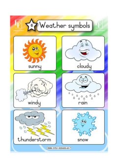
Weather Symbols wall chart
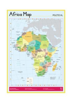
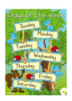
Days of the Week wall chart
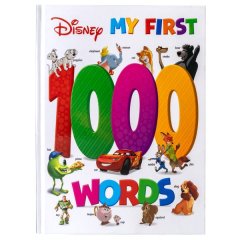
Disney My First - 1000 Words



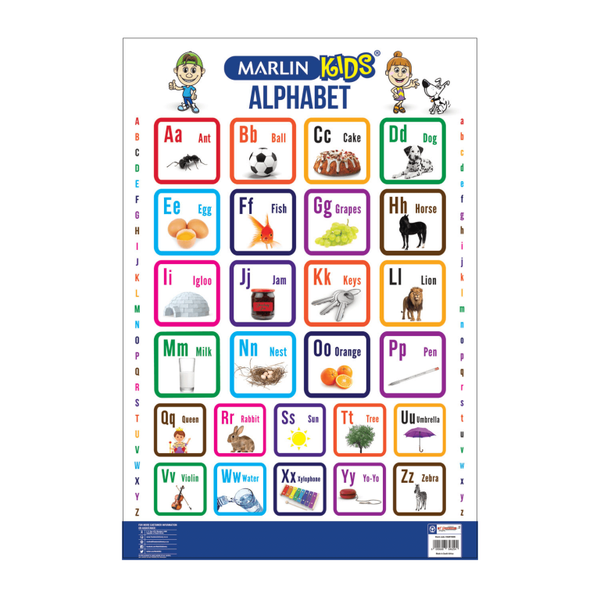
Alphabet Chart (Pack Of 5)
Keep discovering
Sign in to browse more of your personalised feed (new accounts use social login).